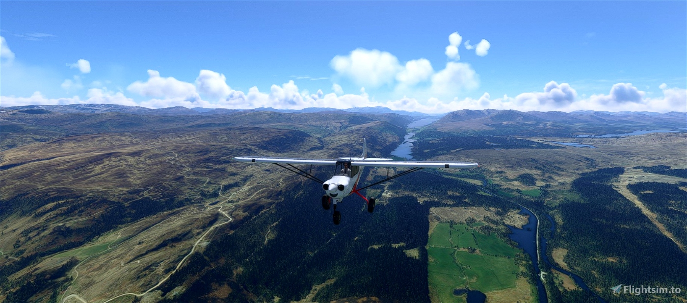
This route is 78 miles by foot and 82 nautical miles in the sim. A long-distance path, it follows the Great Glen, running from Fort William in the southwest to Inverness in the northeast. It takes around 40 minutes at 100 knots.
The trail is visible from the air. Try to gauge your position in Little Navmap or SkyVector (route here) if you aren't loading the flight plan into the sim. If you use an in-sim flight plan, there are fifteen waypoints between the departure and destination airports.
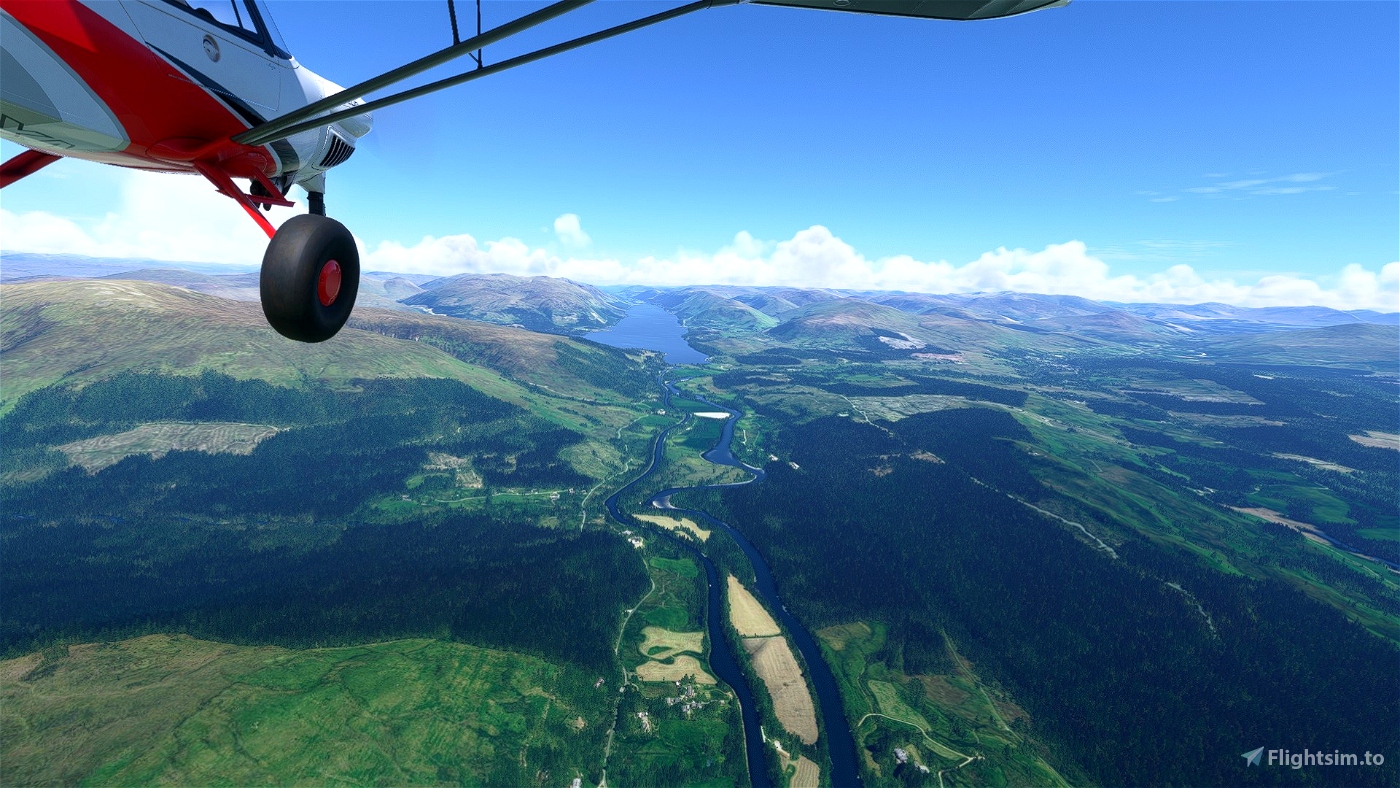
We depart from Oban (EGEO; free add-on available here) and fly northeast over Loch Creran en route to the start of the trail at Fort William, on the shores of Loch Eil.
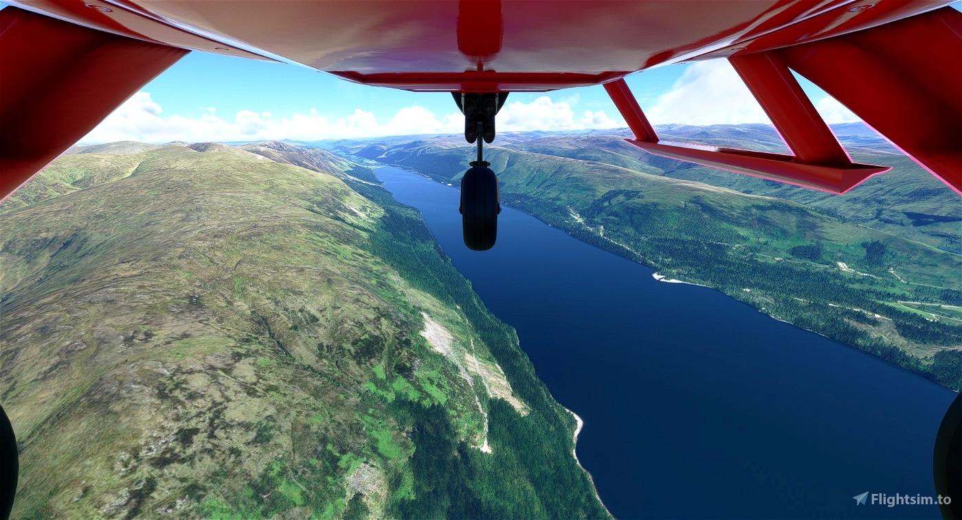
The other lochs we pass beside are: Loch Lochy, Loch Oich and, finally, Loch Ness. Between Loch Oich and Loch Ness are a stretch of canals.
Inverness is the destination airport. An improvement to the stock EGPE has been made by ghosh9691, available here.

 newtestleper

