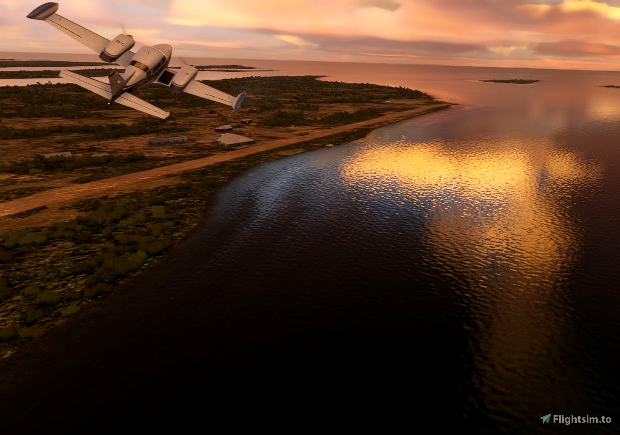
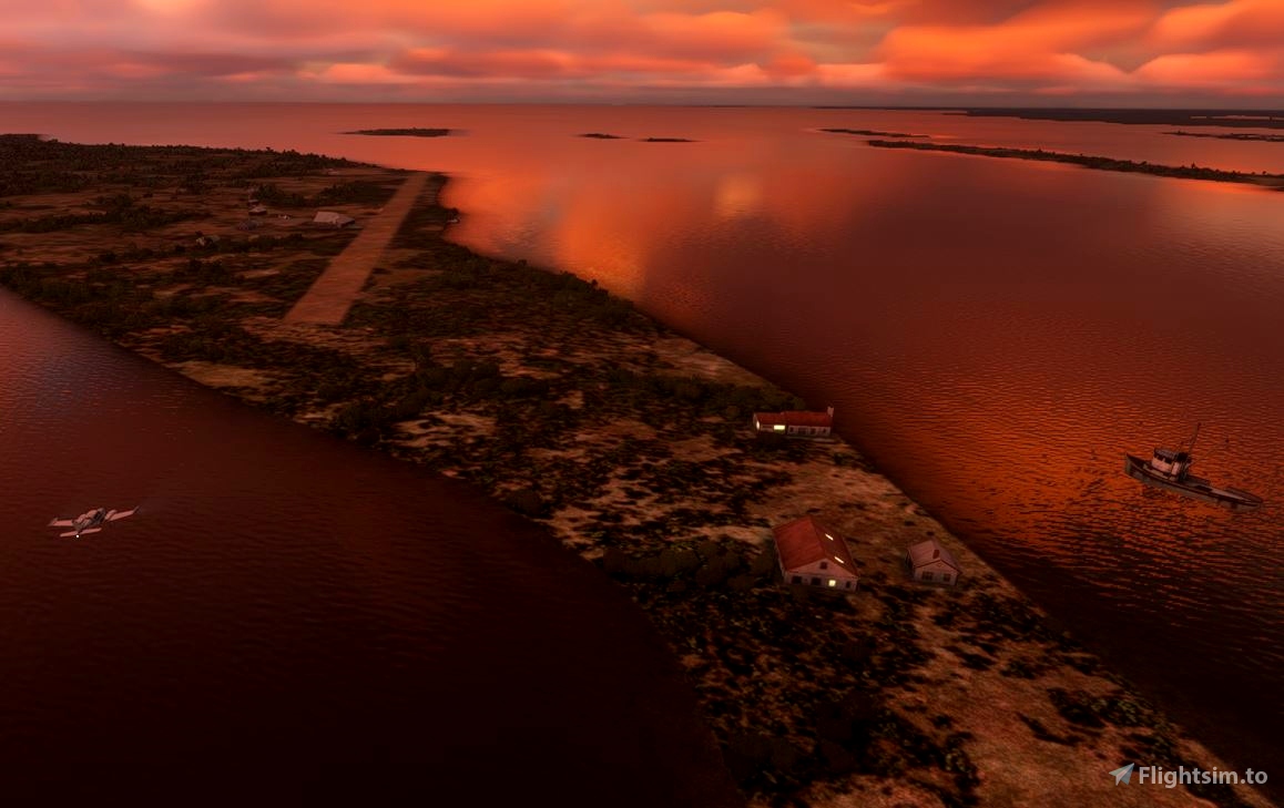
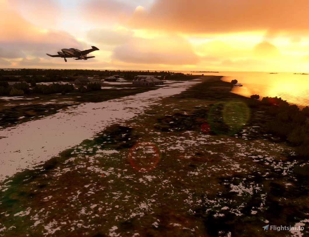
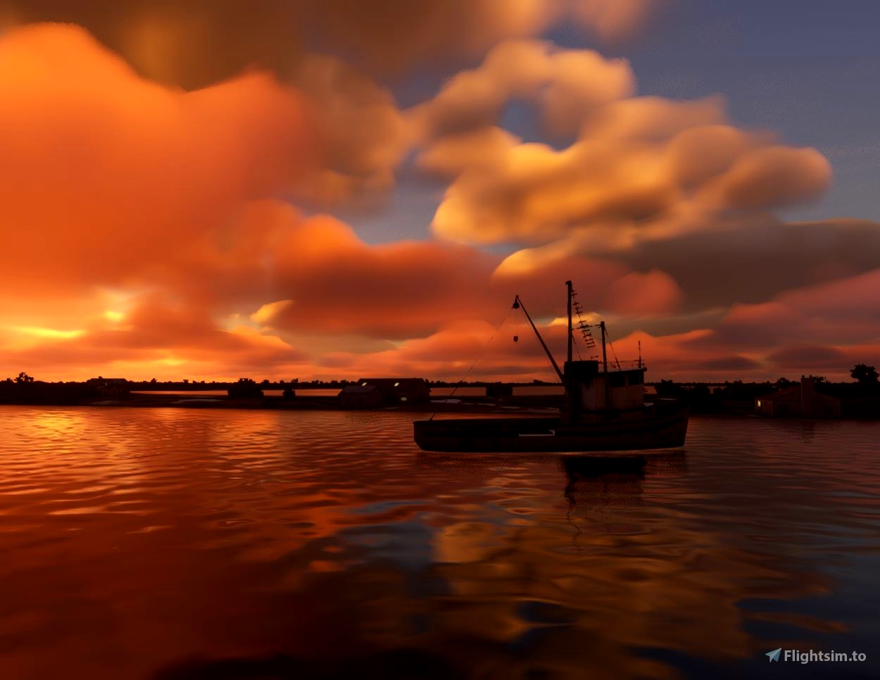

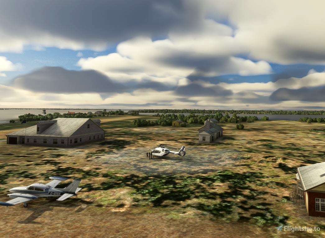
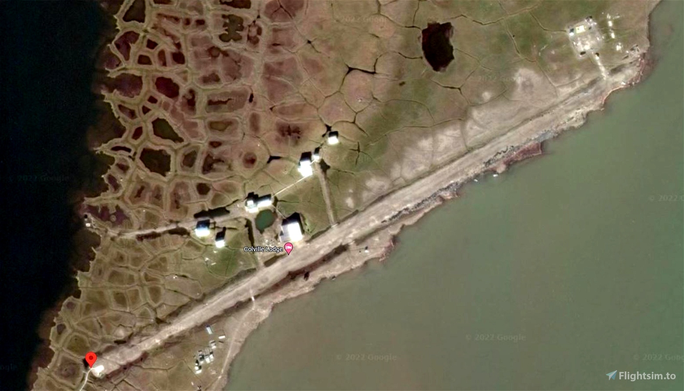
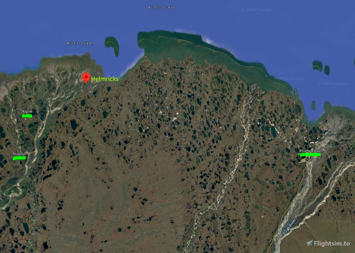
Located above the 70th parallel, Helmricks airport is one of the several airports that dot the Arctic shoreline. Deadhorse Airport is 40 miles away in Prudhoe Bay, the terminus of the Dalton Hwy. The Coleville lodge was etablished by Alaska bush pilot and guide Harmon "Bud" Helmericks more than 60 years ago, Colville was originally known as the Arctic Tern Fish & Freight Company which served as a guide service for early North Slope oil exploration. The Helmericks homestead on the Colville River was also tied to the village of Nuiqsut, which was established 22 miles upriver of the homestead in the early 1970s. Prior to that, the Helmericks' airstrip was the closest field for aircraft operating in and out of Prudhoe. It made them the hub for the '50s and '60s and cemented the family's name in the region and industry.
This airport (22AK) was missing from the sim, but here it is:
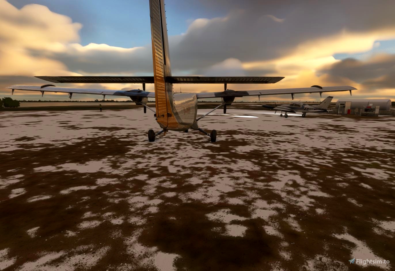
Dimensions: 2500 x 50 feet
Surface: Gravel / Dirt
Runway 03 Runway 21
Coordinates: 70.4283381, -150.4028989
Elevation: 30
Installation:
Copy the tn-airport-22ak-helmericks folder inside of the zip file into your MSFS Community folder.
Many thanks to the creators of the scenery libraries in the Recommended list.
If you have not previously installed these libraries in your Community folder, some objects may not be visible in your sim.
Easter Egg implemented.

 55tom55


2 months ago
2 months ago
55tom55
CaptainMoonlight