
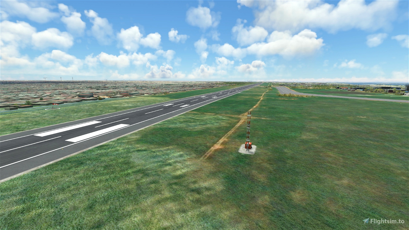

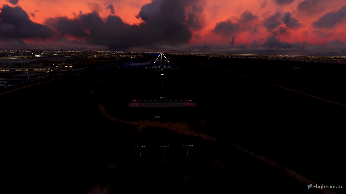

 EDDB2020
 New content from creators you follow
Discussions and Community Insights
Showcase of User Uploaded Images
Ranking of our most popular creators
Discover the latest community reviews
Read latest updates in flight simulation
Contribute and collect badges
View the full list of add-ons
A comprehensive list of new uploads
Trending add-ons of the day
Most popular updates of the day
Most recent updated add-ons
Today's most downloaded add-ons
Explore the full spectrum of available liveries
Discover the latest additions to our library
Check out the latest enhancements to existing content
See what's popular in the community right now
Find out which releases are hitting the top charts this month
Browse our most popular downloads to date
Discover scenery from Global Airports to Wilderness Strips
Discover the latest additions to our library
Check out the latest enhancements to existing content
See what's popular in the community right now
Gateway to the world: Experience International Airport add-ons
Urban Landscapes reimagined: Explore city scenery add-ons
Your World, enhanced: Navigate our Scenery Map to find even more content
Browse our complete range of flight simulation content
Discover the latest additions to our library
Discover the latest additions to our aircraft collection
See what's popular in the community right now
Explore diverse helicopter models for an elevated flying experience
Diverse fleet of civilian aircraft for flight simulation
Customize your ground services with detailed GSX profiles
Essential flight checklists for safe and efficient aircraft operation
View the most recent collections
A wide range of authentic airplane liveries
Immersive Environmental Upgrades
Indispensable add-ons
Editor's Choice: Top Monthly Add-Ons
Community Choice: Best Add-Ons 2023
Latest Products in the Skies
Browse through all available categories
Discover our partners and developers
Explore Community Favorites
Fly More and Spend Less
Latest Update Arrivals
All add-ons on our comprehensive map
Submit your custom livery design requests here
Propose new sceneries for development
Track the progress of requests you're interested in
Discover the latest fulfilled requests
There are no reviews yet.
Pretty empty over here.
Initial File Release
Freeware is nice, but not to take for granted. Show your support to the creator of this add-on. Your donation to support the creator is appreciated!
According to the law, only the person or entity whose copyrighted work was stolen is entitled to file a copyright claim. Law prohibits us from processing third-party requests if you are not the owner, a legal agent or copyright holder of the content in question. We therefore ask you to contact the rightful author of the content and inform them about this issue. Only they can file a DMCA complaint.
We kindly ask you to understand that we cannot process copyright requests through this form, as we are required to receive such correspondence in the form of a formal complaint to comply with the Digital Millennium Copyright Act. Please familiarize yourself with the DMCA procedure and send us your notification to the address below. Please note that incomplete or invalid complaints will not be processed.
In accordance with our policy, we respond to notifications of alleged copyright infringement that comply with the Digital Millennium Copyright Act on the U.S. Copyright Office website and other applicable intellectual property laws. Our response may include blocking access to or removing allegedly infringing material and/or terminating accounts. If we remove or disable access to material as a result of such a notification, we may notify the owner or administrator of the affected content to provide a counter-notification.
Sign in to your account below or create a free account in just a few seconds.


Amazing Work, Danke!
1 years ago
Fill