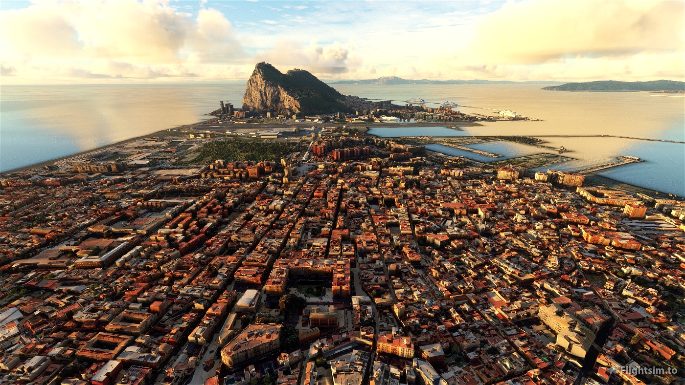
Important! To better enjoy this scenery, download also Gibraltar scenery here: https://flightsim.to/file/65681/gibraltar
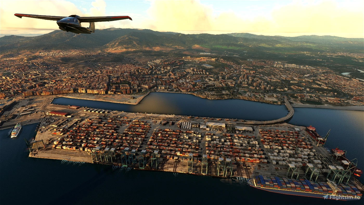
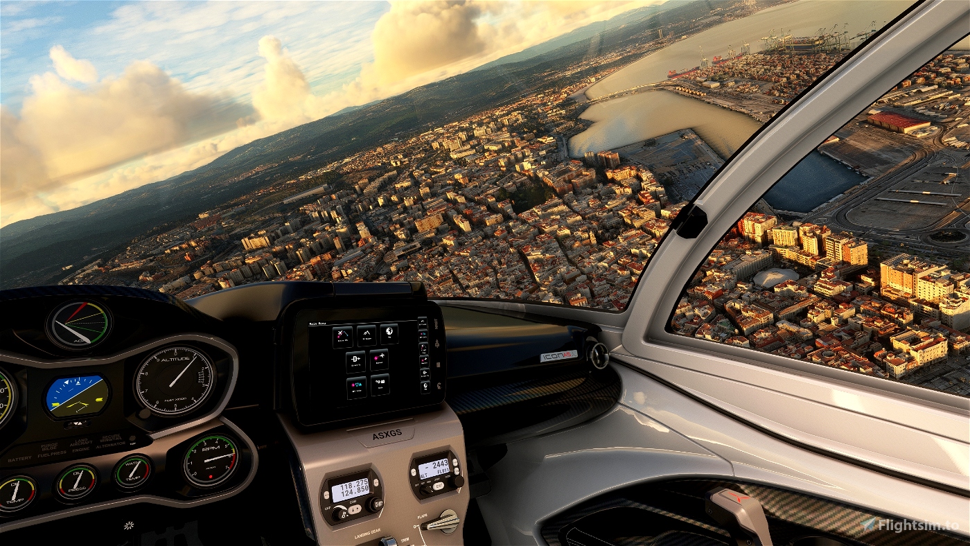
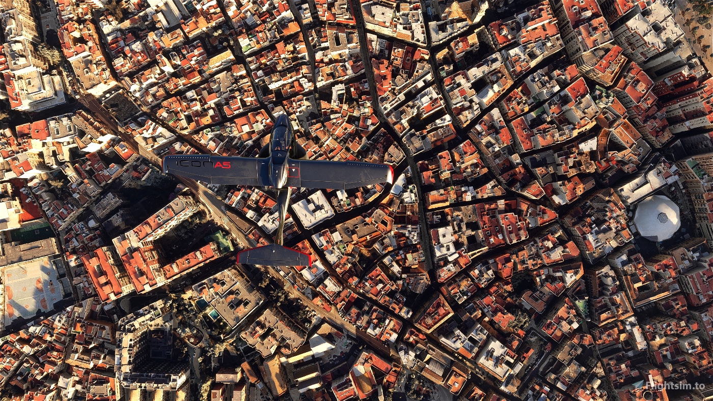
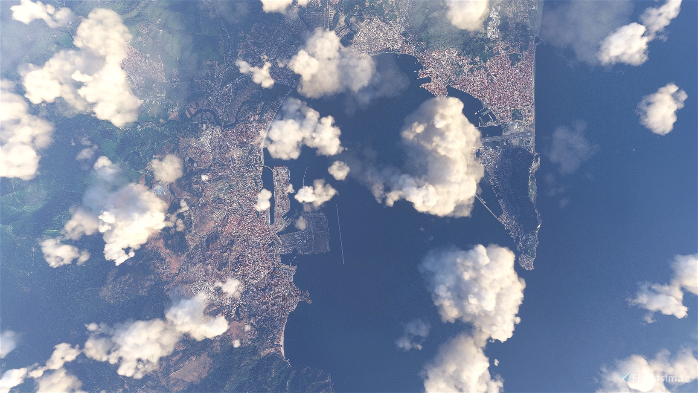
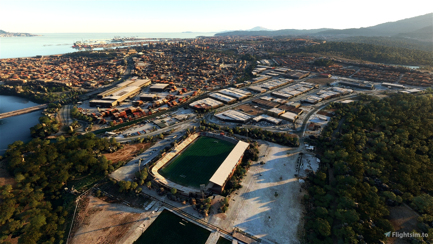
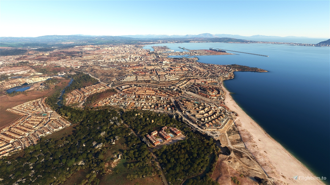
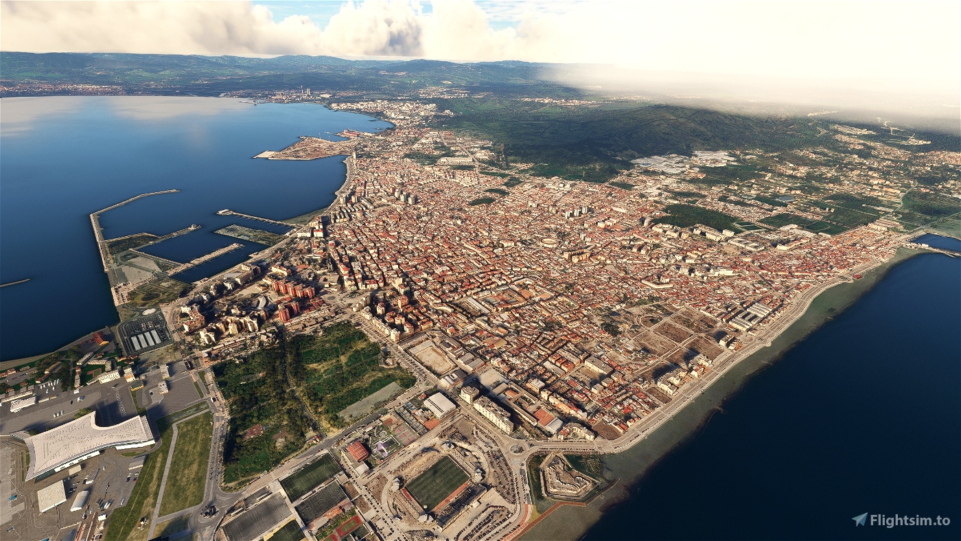
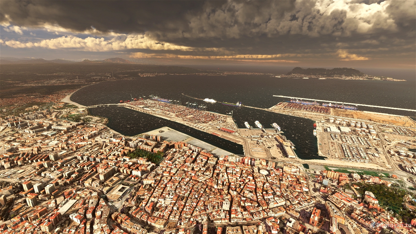
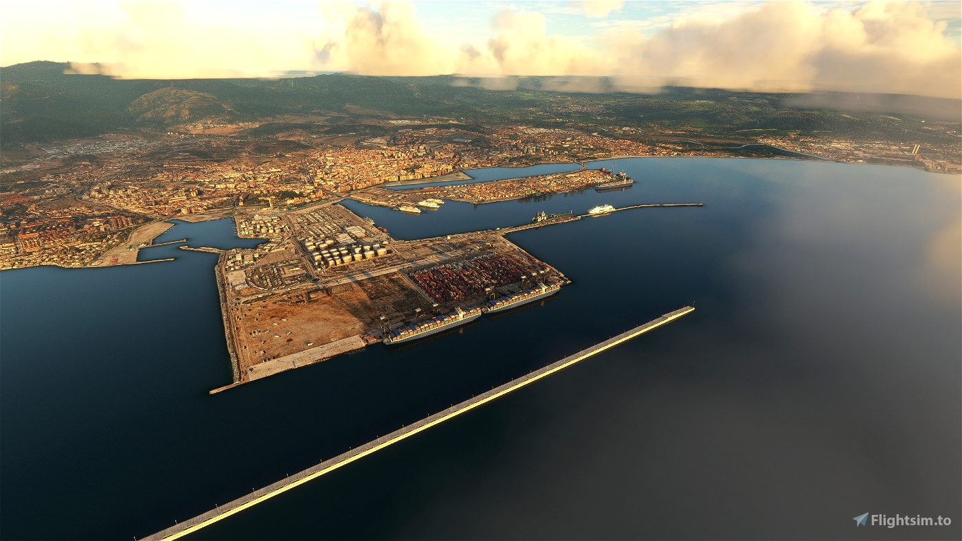
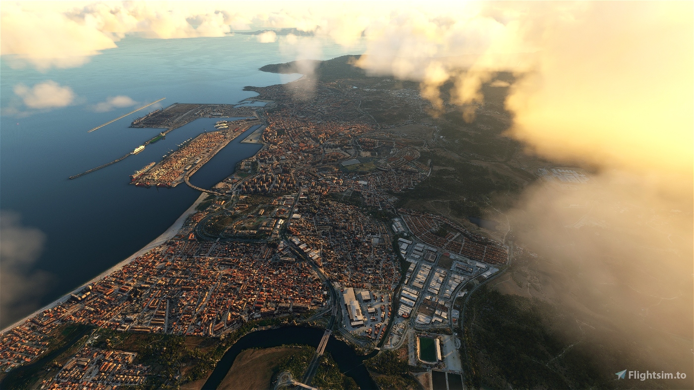
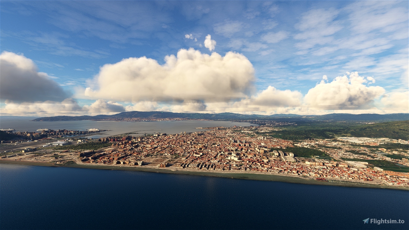
Algeciras is a municipality of Spain belonging to the province of Cádiz, Andalusia. Located in the southern end of the Iberian Peninsula, near the Strait of Gibraltar, it is the largest city on the Bay of Gibraltar (Spanish: Bahía de Algeciras).
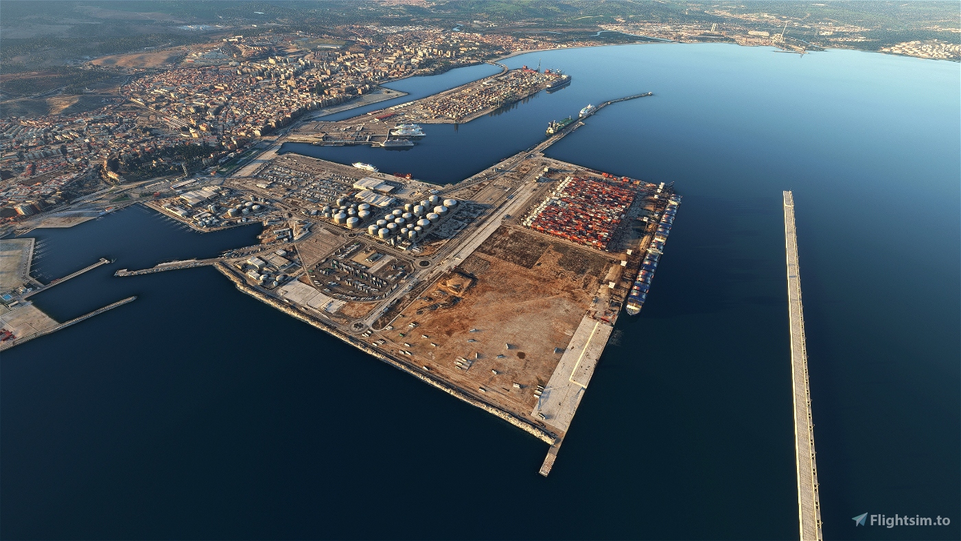
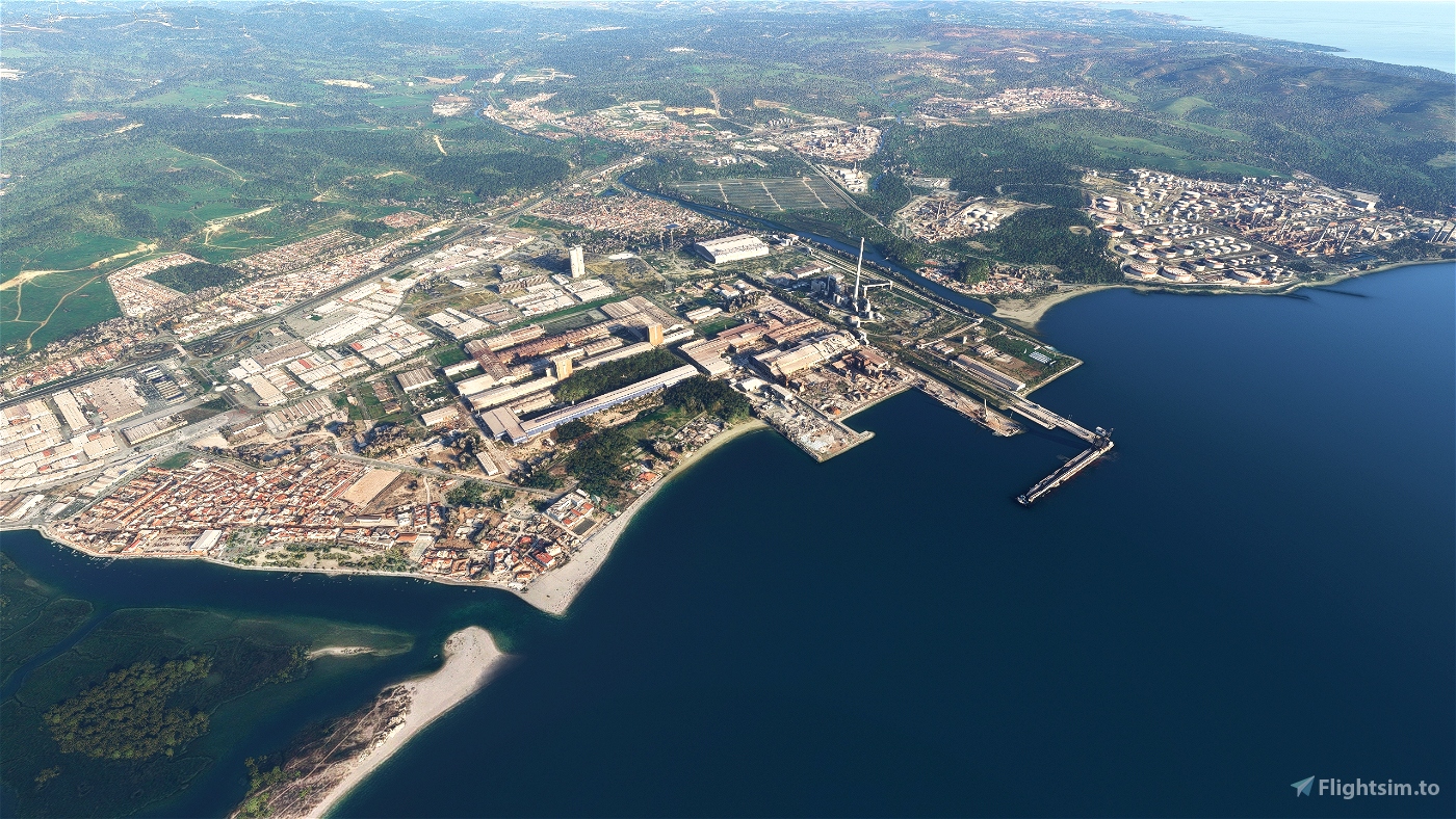
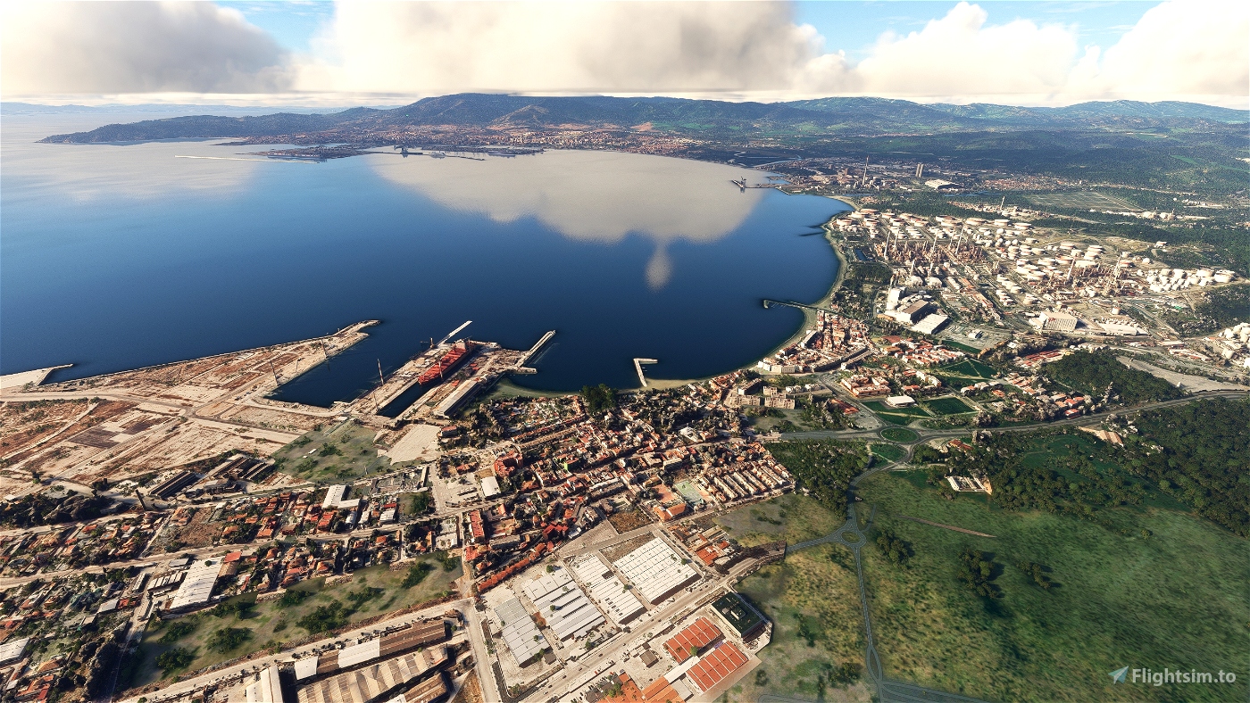
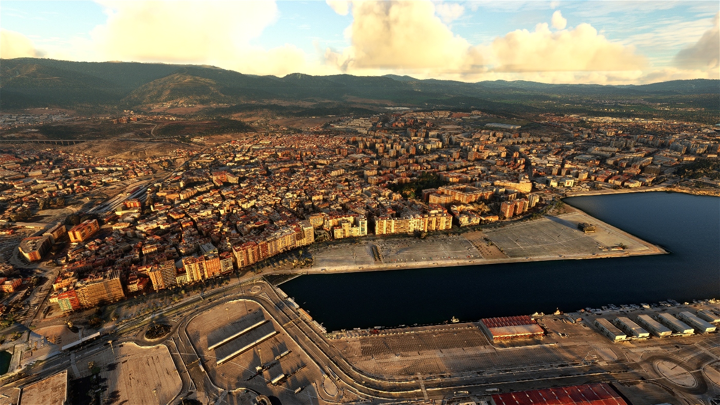
The Port of Algeciras is one of the largest ports in Europe and the world in three categories: container, cargo and transshipment. The urban area straddles the small Río de la Miel, which is the southernmost river of continental Europe. As of 1 January 2020, the municipality had a registered population of 123,078, second in its province after Jerez de la Frontera and greater than Cádiz city population.[2] It forms part of the comarca of Campo de Gibraltar.
The surrounding metro area also includes the municipalities of Los Barrios, La Línea de la Concepción, Castellar de la Frontera, Jimena de la Frontera, San Roque and Tarifa, with a population of 263,739.
GPS: 36° 7′ 39″ N, 5° 27′ 14″ W
Credits:
Microsoft and Asobo for this fantastic MSFS software.
This scenery has been extracted from Google Maps, hence all 3D credits goes to Google.
This scenery has been generated with the Google Earth Decoder tool (credits to /u/Jonahex111):
https://www.reddit.com/r/FS2020Creation/comments/j3faaj/google_earth_decoder_now_userfriendly/
Addon history:
v1.0: initial release
v1.1: fix elevation to better blend with Gibraltar scenery
Installation:
Download the main file. Extract the content of the archive into the Community folder.
If you want to donate, you will always be welcome to help me continue with more projects and update the existing ones https://paypal.me/Thalixte.

 Thalixte


Muchas gracias por tu trabajo.
Saludos.
3 months ago
Viper
5 months ago
JAF3414
5 months ago
daavids19