Important! To better enjoy this scenery, download also Algeciras scenery here: https://flightsim.to/file/65680/algeciras
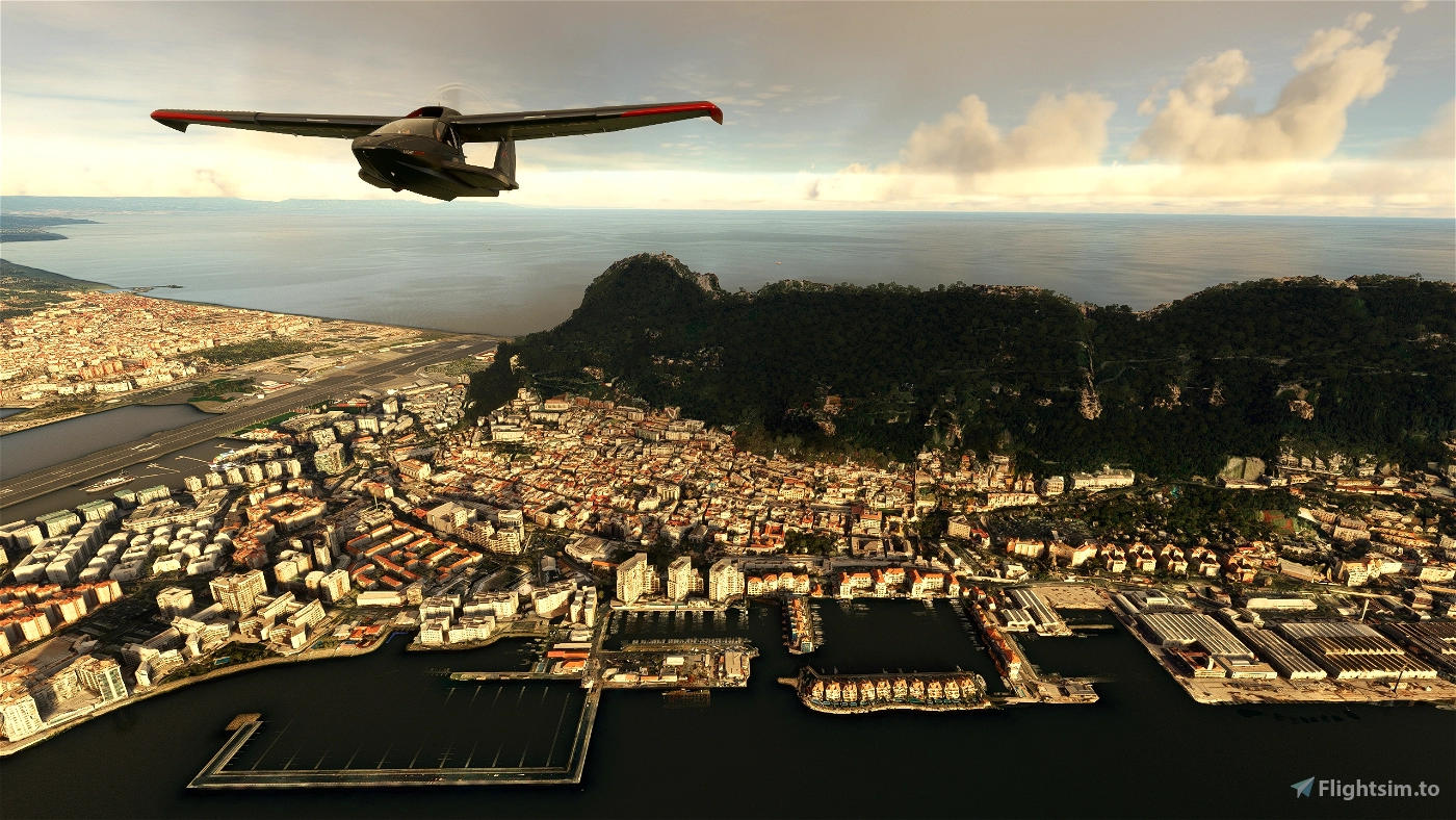
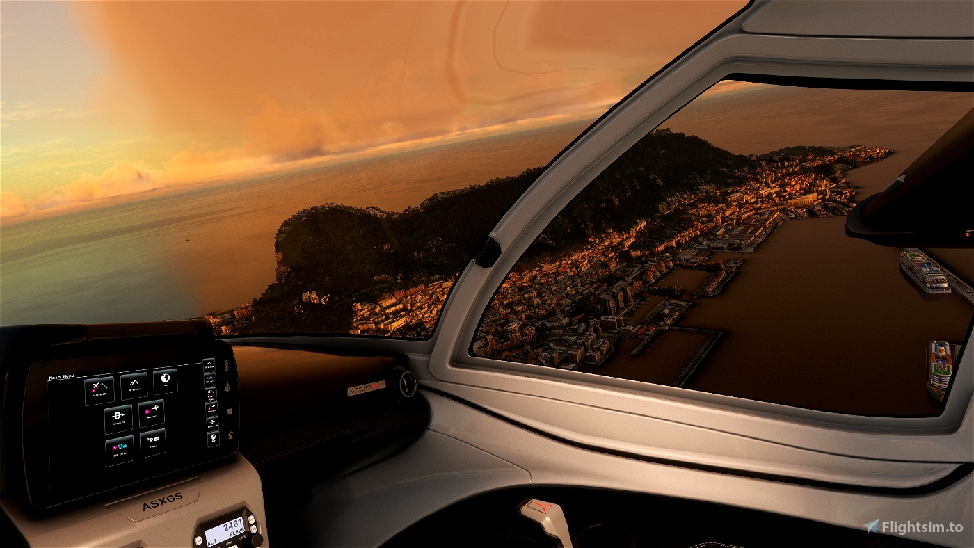
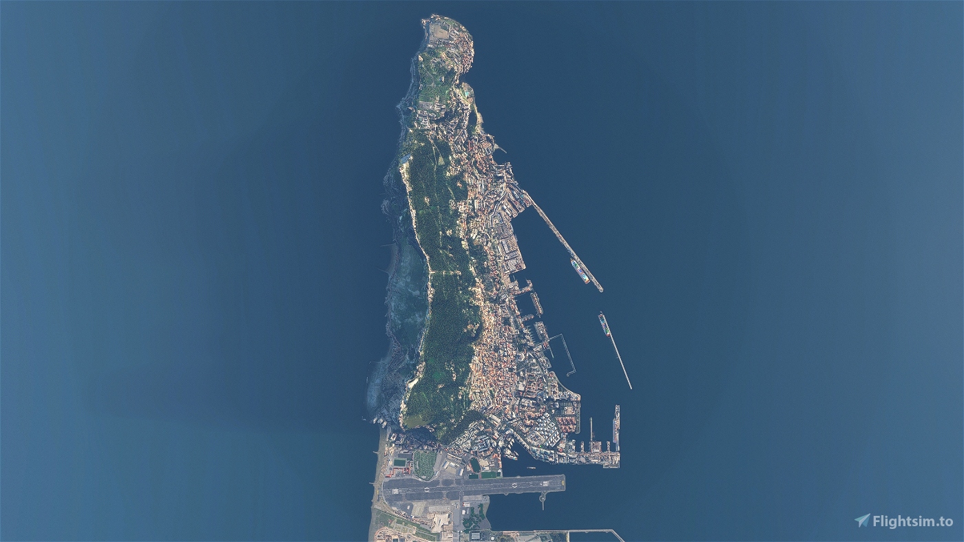
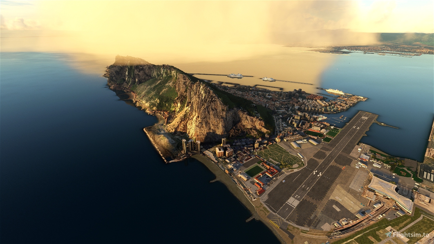
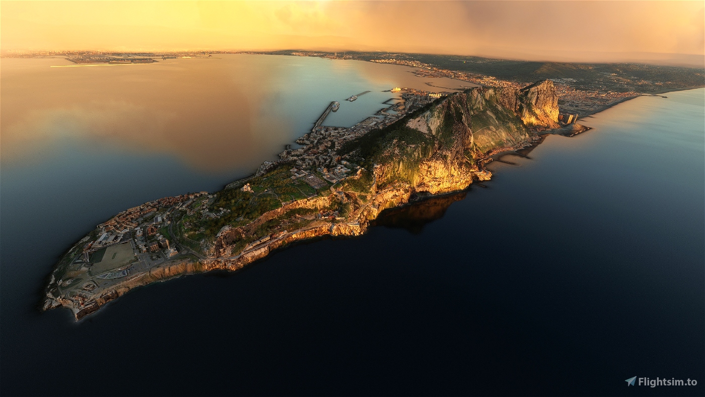
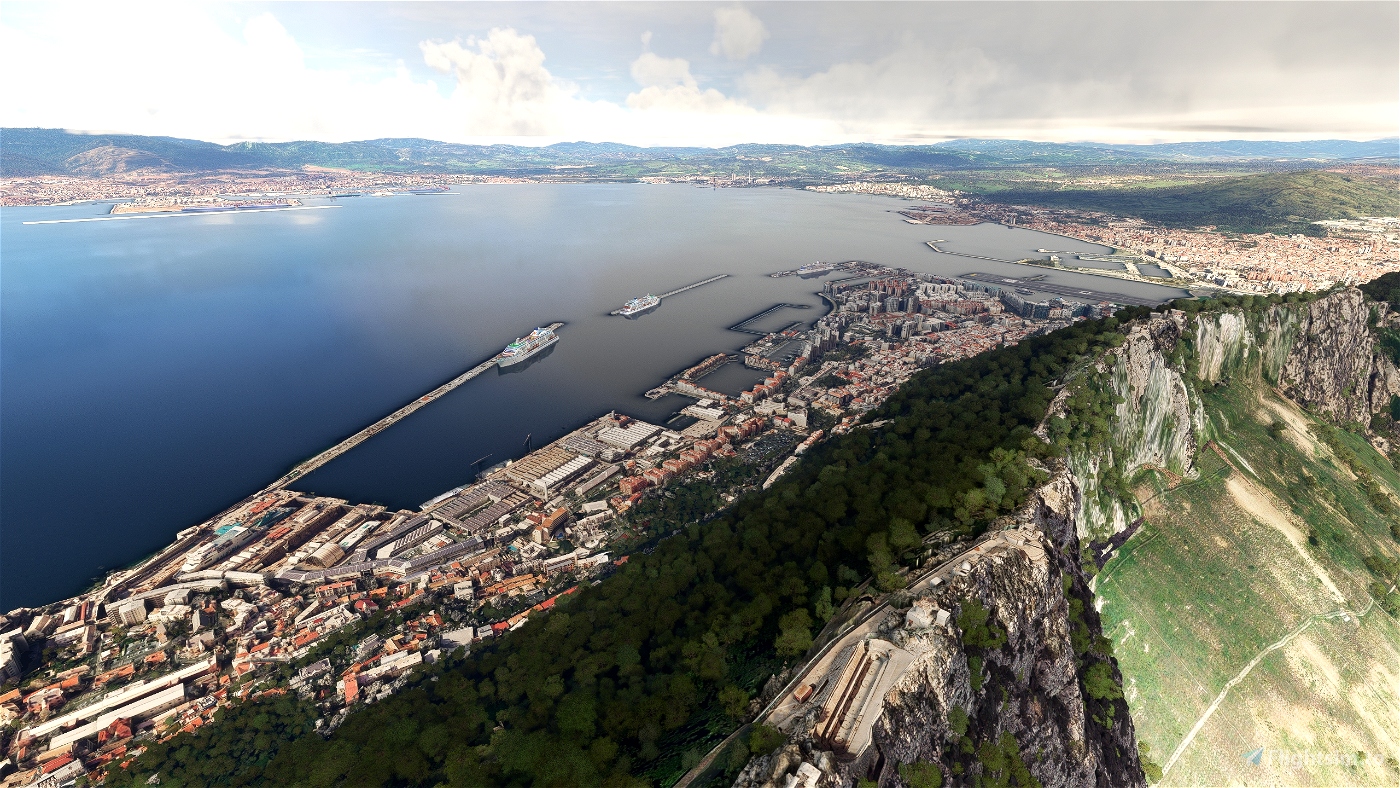
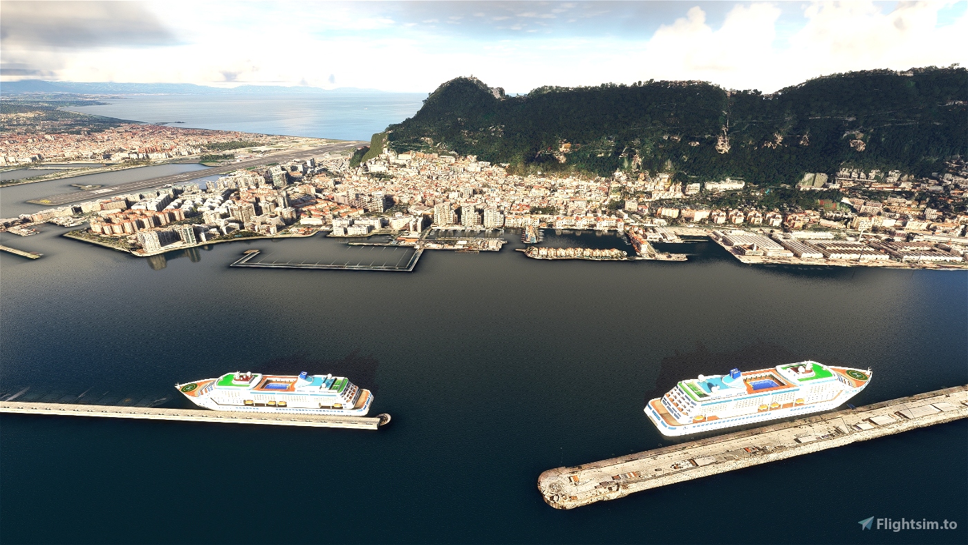
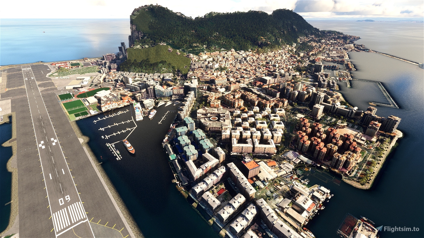
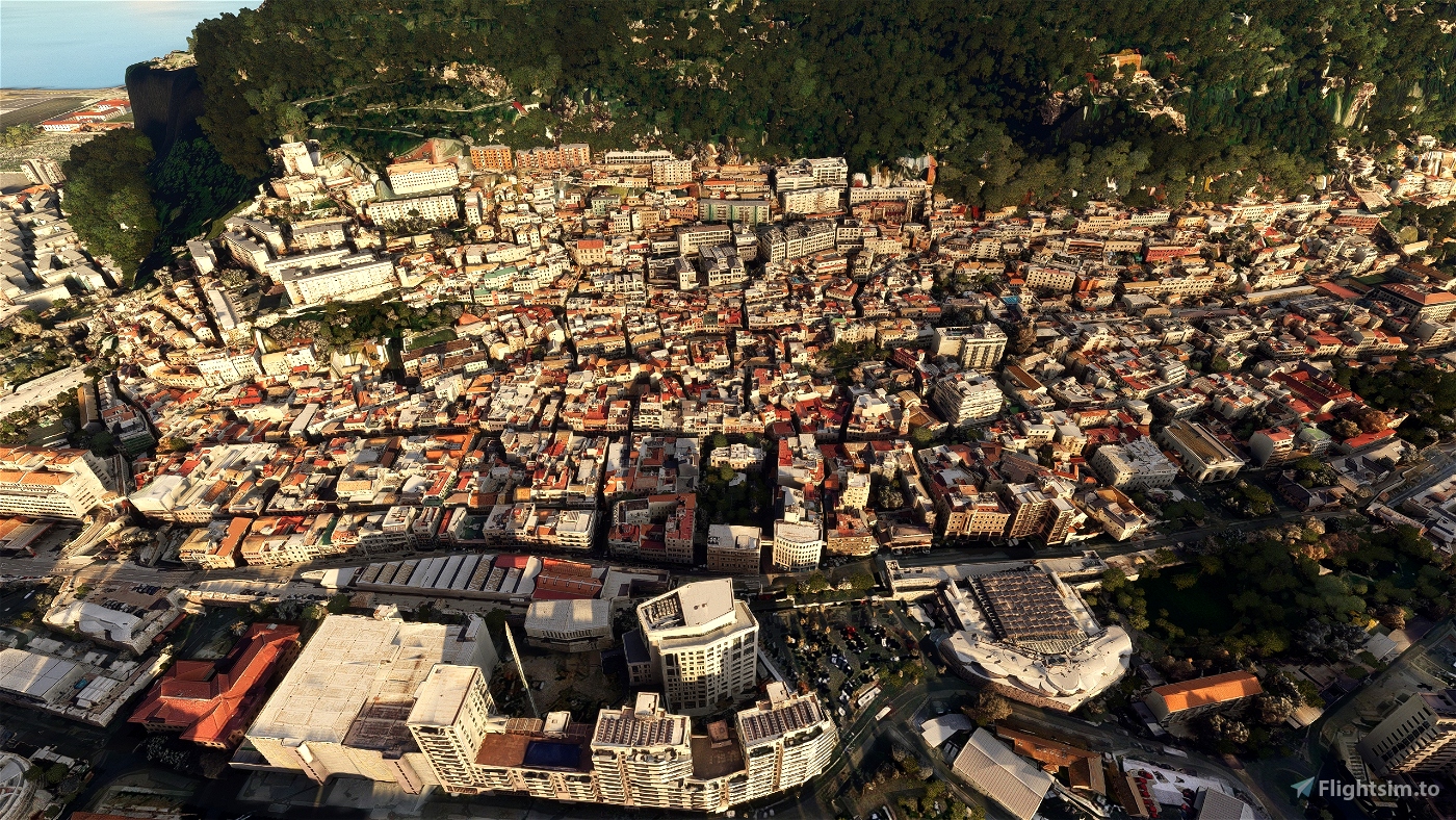
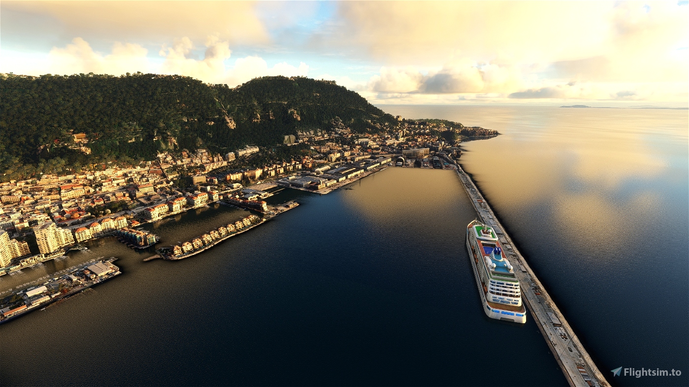
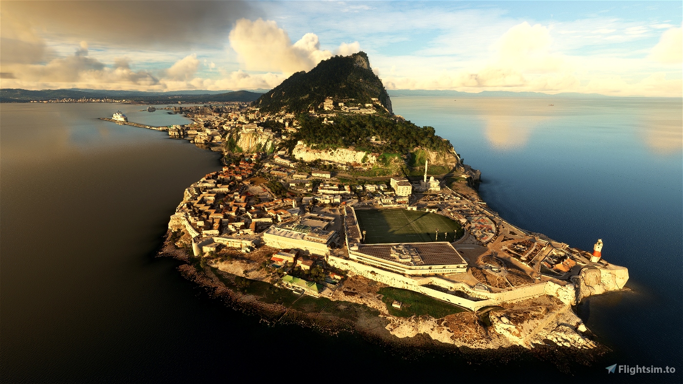
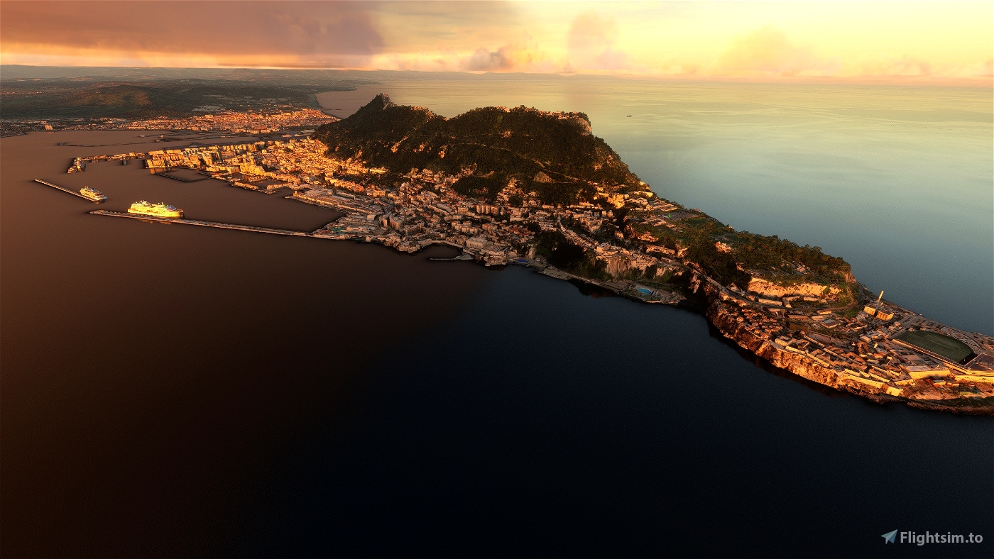
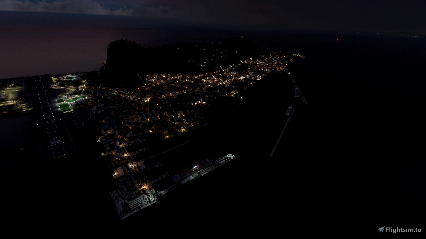
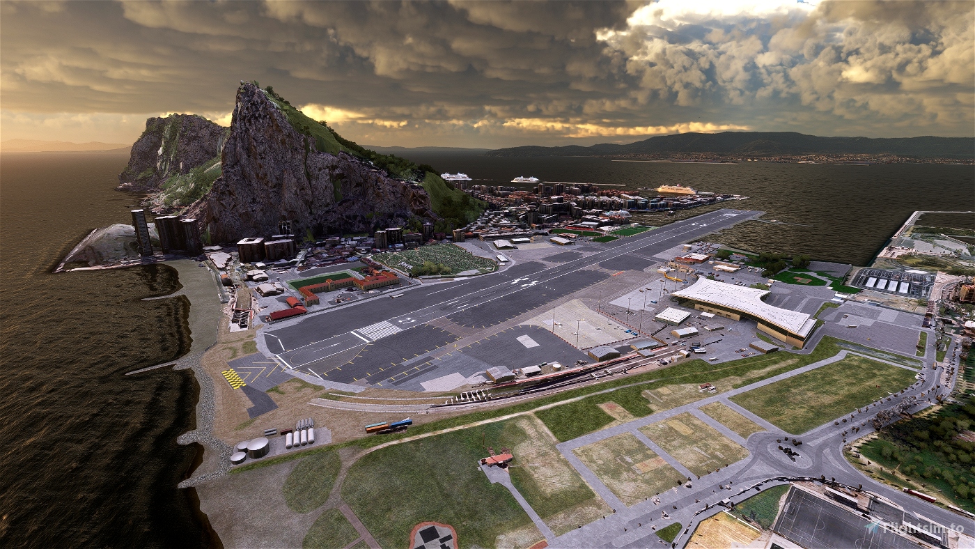
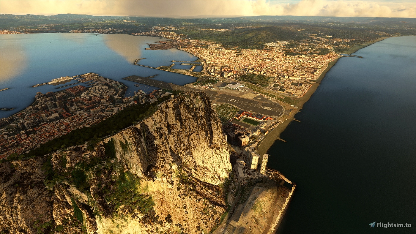
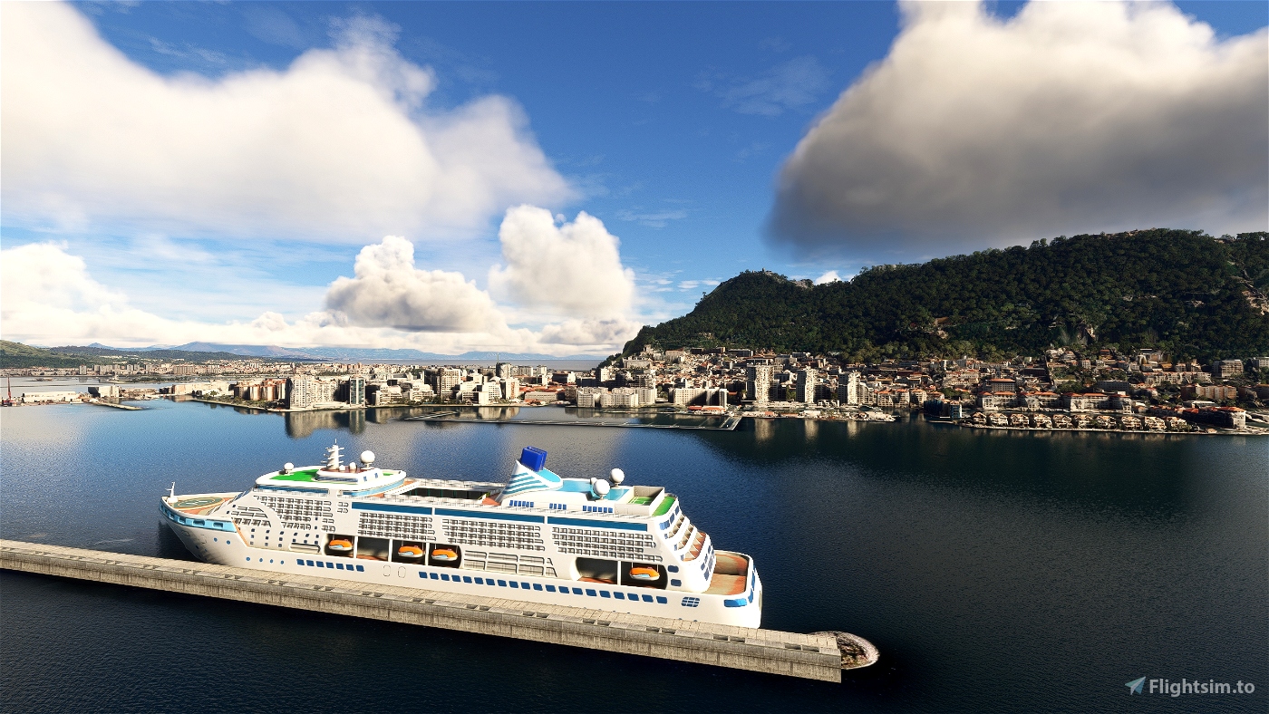
Gibraltar is a British Overseas Territory and city located at the southern tip of the Iberian Peninsula. It has an area of 6.7 km2 (2.6 sq mi) and is bordered to the north by Spain (Campo de Gibraltar). The landscape is dominated by the Rock of Gibraltar, at the foot of which is a densely populated town area, home to some 32,688 people (2022 estimate), primarily Gibraltarians.
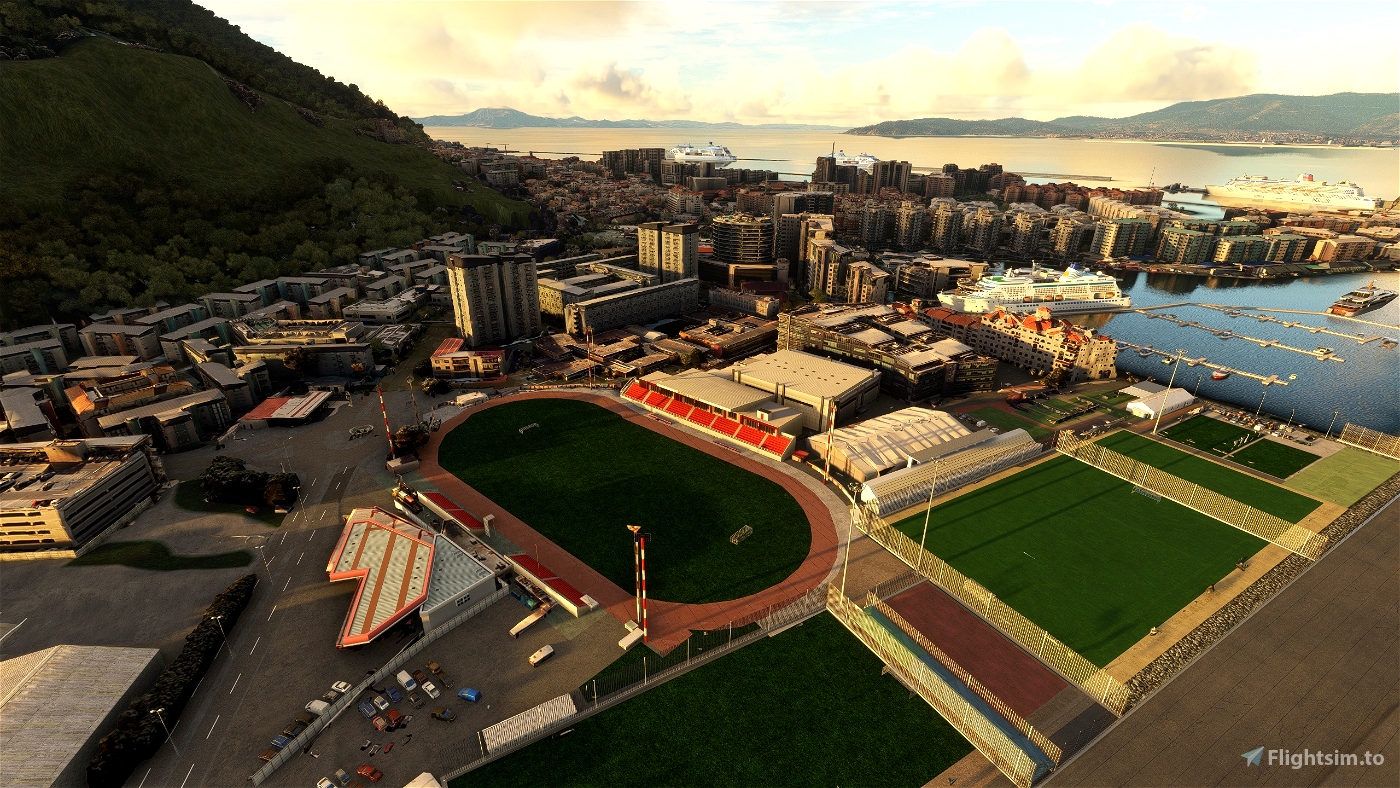
In 1704, Anglo-Dutch forces captured Gibraltar from Spain during the War of the Spanish Succession. The territory was ceded to Great Britain in perpetuity under the Treaty of Utrecht in 1713. It became an important base for the Royal Navy, particularly during the Napoleonic Wars and World War II, as it controlled the narrow entrance and exit to the Mediterranean Sea, the Strait of Gibraltar, which is only 14.3 km (8.9 mi) wide. This choke point remains strategically important, with half the world's seaborne trade passing through it. Gibraltar's economy is based largely on tourism, online gambling, financial services, and bunkering. With one of the world's lowest unemployment rates, the largest part of the labour force are resident in Spain or non-Gibraltarians, especially in the private sector.
The sovereignty of Gibraltar is a point of contention in Anglo-Spanish relations, as Spain asserts a claim to the territory. Gibraltarians overwhelmingly rejected proposals for Spanish sovereignty in a 1967 referendum, and for shared sovereignty in a 2002 referendum. Nevertheless, Gibraltar maintains close economic and cultural links with Spain, with many Gibraltarians speaking Spanish as well as a local dialect known as Llanito.
Since Brexit, Gibraltar is not a member of the European Union but negotiations are under way to have it participate in the Schengen Agreement to facilitate border movements between Gibraltar and Spain. As of March 2023, talks seem deadlocked.
GPS: 36° 8′ 24″ N, 5° 21′ 0″ W
Credits:
Microsoft and Asobo for this fantastic MSFS software.
This scenery has been extracted from Google Maps, hence all 3D credits goes to Google.
This scenery has been generated with the Google Earth Decoder tool (credits to /u/Jonahex111):
https://www.reddit.com/r/FS2020Creation/comments/j3faaj/google_earth_decoder_now_userfriendly/
Addon history:
v1.0: initial release
v1.1: fix elevation issues near the RAF base
Installation:
Download the main file. Extract the content of the archive into the Community folder.
If you want to donate, you will always be welcome to help me continue with more projects and update the existing ones https://paypal.me/Thalixte.

 Thalixte


10 days ago
CaptainPigeon
3 months ago
kapazunder33
5 months ago
CharlieFox
5 months ago
Greazer
5 months ago
JAF3414
5 months ago
krisfire
Really great work, thank you.
I would like to let you know that when making an approach to runway 09, I noticed a rip in the textures about 15 feet above the Rock. It looks like a jagged line. It has never been there before, as I fly into Gibraltar often as part of my VA route, but it has been there ever since I installed your scenery a day ago.
This is not a complaint, just a heads up.
Thanks...
5 months ago
5 months ago
Thalixte
tradewolf
Thanks in advance for your fantastic work. All your packages are an added value to our sims.
I would like to ask you if you ae able to do an updated version of Lisbon Enhanced, as you did for Toulouse.
Thank You!
5 months ago
5 months ago
Thalixte
CommanderBUS
Is it compatible with LXGB - RDPresets airport?
5 months ago
5 months ago
Thalixte
chaveznqoos
5 months ago
5 months ago
Thalixte
daavids19
Whats the different between this and the latest Bing Maps ?????
5 months ago
5 months ago
daavids19
Hans1593
5 months ago
carlos